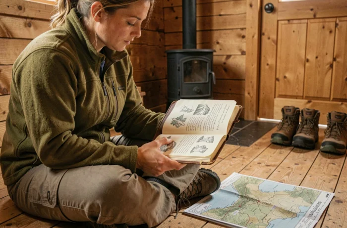
An outdoor travel journal serves a specific purpose: it gathers, before departure, field data (elevation gain, water points, local regulations) and, after returning, observations that will help refine future outings. Preparing for an outdoor adventure today requires cross-referencing several types of sources, verifying the actual visitor numbers at targeted sites, and choosing formats suitable for the duration of the outing.
Micro-adventure and field journals: adapting the format to the outdoor project
Recent outdoor outings are increasingly leaning towards proximity and short-duration formats. A one-night bivouac, a hike close to home, trail running on the urban outskirts: these micro-adventures attract a connected audience that blurs the line between urban leisure and peri-urban nature.
For this type of outing, a lightweight field journal (A6 format, soft cover) is sufficient. It is used to note the actual weather conditions, the trail quality, water supply points, and especially the observed visitor times. This raw data is more valuable than a literary account when it comes to reproducing or improving the experience.
Journals dedicated to longer adventures (multi-day treks, bike trips, kayaking itineraries) require a different structure. Each day is divided into sections: distance traveled, weather, physical condition, notable flora or fauna, useful local contacts. This rigorous breakdown transforms a simple souvenir into a planning tool for future outings.
Specialized platforms for outdoor travel in Eastern Europe, such as Transylvania Unpacked, document routes in still little-frequented areas, with precise field information about the Romanian Carpathians. This type of resource complements a personal journal by providing local data that is hard to find elsewhere.
Outdoor overuse: why your favorite spots are saturated
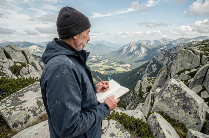
Social media directly influences the choice of bivouac and hiking locations. A spot photographed from a specific angle, shared with an exact geolocation, concentrates visitor flows on a few iconic sites. The result is measurable: some alpine areas are experiencing unprecedented visitor pressure, with consequences for trails, vegetation, and the coexistence of hikers.
The Tour du Mont-Blanc illustrates this phenomenon. The affected municipalities are considering generalizing prior reservations for accommodations or authorized sites, prohibiting wild camping, and limiting luggage transport to hiking backpacks. These measures respond to increased visitor numbers, accumulated waste, and tensions along the route.
This case is not isolated. Regulations can vary greatly depending on the area traversed, even for the same adventure. A trek that passes from a national park to a nature reserve and then to a communal area involves three distinct legal frameworks for bivouacking. Failing to check this point before departure exposes one to fines or expulsion from the site.
Identifying overuse signals before leaving
An effective preparation journal includes a step for checking visitor numbers. Several indicators allow for evaluating pressure on a site before visiting:
- The number of recent geolocated posts on Instagram or Strava for the specific location, which provides an estimate of current visitor flow.
- The existence of regulatory measures (mandatory reservations, daily quotas, temporary bivouac bans), available on park or tourist office websites.
- Field reports dated within the last six months on specialized forums or hiking blogs, which indicate the actual state of trails and bivouac areas.
- The presence or absence of sanitary facilities and waste collection points, a reliable indicator of the site’s level of development and thus its capacity to accommodate visitors.
A spot without visitor infrastructure and with high online visibility is the typical profile of a site in the process of degradation. Noting it in a journal allows for avoiding it or scheduling it for the off-season.
Preparing an outdoor itinerary off the overexposed paths
Looking for alternatives to saturated routes does not mean sacrificing the quality of the landscape or terrain. The method relies on cartographic and documentary work that the travel journal structures.
The first step is to identify the massifs or valleys adjacent to overused areas. The Romanian Carpathians, certain Jura valleys, the plateaus of the Massif Central, or the hills of Haut-Languedoc offer hiking, biking, or gravel terrains with a significantly lower density of walkers compared to classic alpine spots.
The second step involves checking local regulations. Each area has its own rules regarding bivouacking, fires, dog traffic, and cycling. A preparation journal dedicates one page per area crossed, with the contact details of the manager (park, municipality, ONF) and the current restrictions.
Cross-referencing sources to validate field data
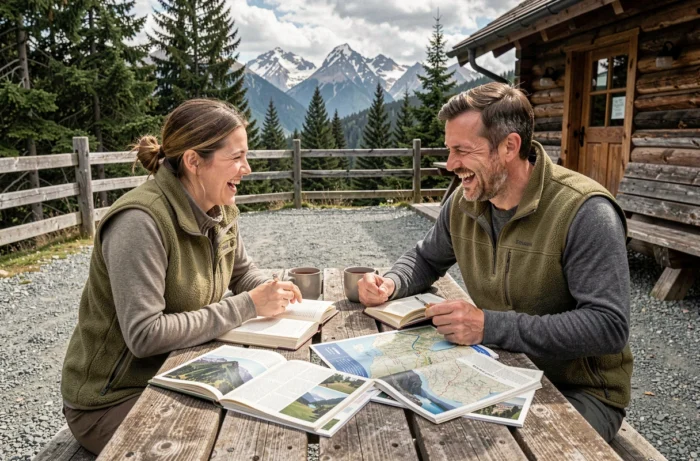
An outdoor travel journal gains value when it cross-references several types of sources. Paper or digital topos provide the route and elevation gain. Accounts from specialized blogs offer dated field observations. IGN or OpenStreetMap maps help locate water points, unguarded refuges, and tricky passages.
- Official topos (hiking federations, guide publishers) for reference routes and walking times.
- Blogs and online travel journals for recent experience feedback, variations, and seasonal conditions.
- Detailed cartography (IGN, OpenStreetMap) for physical terrain elements: waterways, contour lines, forest cover.
No single source is sufficient to prepare a reliable itinerary. The journal is specifically designed to compile these disparate data into a usable document in the field, even without a connection.
Documenting the return: transforming the experience into a reusable resource
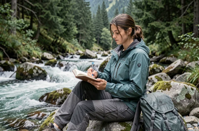
The return section of the journal is the part that most practitioners neglect. Notes taken during the outing (actual weather, trail condition, water quality, encounters with wildlife) become valuable data for planning the next outing or helping other hikers.
A structured return journal records three categories of information. First, the discrepancies between preparation and the reality of the field: a trail reported as passable but collapsed, a water point dried up, a refuge closed out of season. Next, the natural or landscape observations that enrich the understanding of the place. Finally, material adjustments (inadequate equipment, backpack weight to reconsider, insufficient or excessive clothing).
This preparation-field-return loop gives the travel journal its true function. It is not a decorative object or a photo album, but an iterative tool. Each outing feeds into the next, and the quality of preparation directly determines the quality of the experience in the field.
The most useful outdoor travel journals are those that accumulate verifiable data on poorly documented areas. Contributing to this knowledge base, whether through a blog, a forum, or a simple journal shared among friends, helps distribute visitor flows across a broader territory, which remains the most concrete response to the problem of overuse.